EDGE[SPECTRUM]
Degree project | Spring 2017 | CRITICS C. DWYRE & R. SARRACH


In a map, the moment in which land and water meet is represented as a single line: an edge. However, this is just a mere symbolism of the actual space that exists in that “line”. In reality, the edge exists as a spectrum, with a range of ecologies that exist and interact with it.
Today, ten out of fifteen of the world’s largest cities exist on edge condition. The rising level of the water threatens coastal cities to disappear due to melting glaciers, affecting the constructive reality of its ecologies. Moreover, Due to the high accumulation of minerals and toxic waste, the conditions of the water is currently unsuitable for proper life development; thus, natural ecologies existing in the Hudson are threatened or have even become extinct. These shifts call for a redesign of the urban development of the shoreline; a design that rethinks the way in which the city interacts with its environment and surrounding communities.
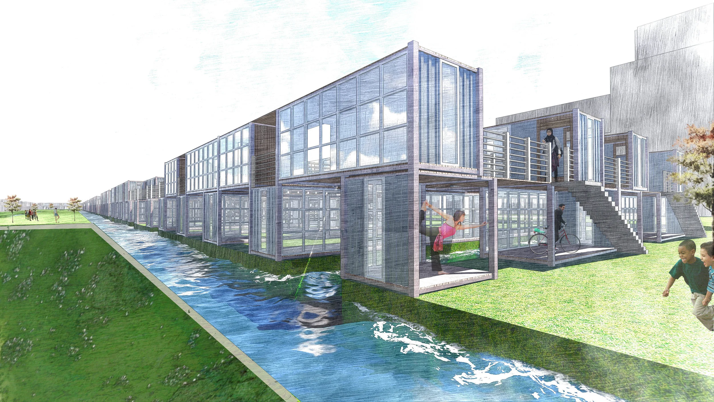
This project intends to revitalize the shoreline area of the Upper New York Bay by understanding the line as a fluctuating tidal condition between water and land, in which both of their ecologies interact in a single network. It seeks to deconstruct the idea of a rigid edge and bring the focus back into the water by proposing a system for coastal development in which the city extends into the water and the water into the land. It rethinks the texture of the shoreline as a softer more gradual transition between land and water, an ever changing edge that adapts to the shifting water levels.
How can the understanding of the edge as a fluctuating tidal condition redefine the relationship between water and land and the interaction of its ecologies?

Complete book can be found here.


THE EDGE


![[Projected Sea Level Rise by 2100]](https://images.squarespace-cdn.com/content/v1/5c4555864eddeceaf51ae6f7/1548889786073-NNHOJ62N36TLZ6WHL9NU/02%2BEdge%2Bprojections%2B02.jpg)
[Projected Sea Level Rise by 2100]


[Softening the Edge]

